Advertisement






The Gulf conflict has disrupted global supply chains, pushed...
REITs have changed the way commercial real estate is owned a...
What really powers the cloud? Behind every Google search, A...
What really powers the cloud? Behind every Google search, A...
Luxury real estate is one of the most talked-about segments ...
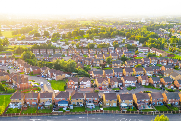
The Hubballi-Dharwad Municipal Corporation (HDMC) has been implementing Karnataka's first 3D Geographic Information System (GIS) survey to map every property within its municipal limits and assign each a unique property identification number. The exercise, involving aerial and door-to-door surveys, aims to bring unassessed and under-valued properties into the tax net and could potentially more than double the corporation's annual property tax collection from around INR 140–150 crore to a targeted INR 400 crore. HDMC officials say the digitised records will also support long-term urban planning and infrastructure decisions across the twin cities.

The Hubballi-Dharwad Municipal Corporation (HDMC) has undertaken Karnataka's first citywide 3D Geographic Information System (GIS) survey, aimed at mapping every property within its jurisdiction and issuing each one a unique identification number to overhaul the civic body's property tax records.
The survey combines aerial imaging with door-to-door verification to capture detailed data on each structure, including building height, floor area, land use and property boundaries. Two firms were engaged to carry out the exercise across the twin cities' 82 wards, with the project valued at approximately INR 23–23.5 crore and originally scheduled to run over roughly 15 months. HDMC Additional Commissioner Vijaykumar R said work orders for the zone-wise survey were issued following approval at a general body meeting, with the exercise structured to be completed ahead of the monsoon season to avoid delays.
The data gathered through the survey is intended to be integrated into a central digital platform accessible to HDMC officials, allowing the corporation to track property modifications and maintain updated tax records over time. Officials have said the initiative follows a long-pending demand for a GIS-based property information system, with earlier attempts to conduct such a survey delayed for close to a decade owing to cost constraints.
HDMC currently collects around INR 140–150 crore annually in property tax from residential, commercial and vacant land parcels, drawing on a base of roughly 3.38 lakh currently taxed properties. The corporation has stated that a significant share of properties within its limits, potentially exceeding 40 per cent, remain outside the tax net or are under-assessed, including certain educational institutions, hospitals, commercial establishments, residential apartments and unauthorised layouts. Officials have set a target of raising annual property tax collection to around INR 400 crore once the survey is completed and the resulting data is applied to reassess and expand the tax base.
Beyond its use for taxation, HDMC has indicated that the digitised property records generated through the survey are expected to support broader urban planning and infrastructure decision-making across Hubballi and Dharwad, given that the twin cities together form the second-largest urban agglomeration in Karnataka after Bengaluru.
16th Sep, 2026


5th May, 2026



23rd Feb, 2026
27th Sep, 2025



Advertisement









 Facebook
 Whatsapp