Advertisement






The Gulf conflict has disrupted global supply chains, pushed...
REITs have changed the way commercial real estate is owned a...
What really powers the cloud? Behind every Google search, A...
What really powers the cloud? Behind every Google search, A...
Luxury real estate is one of the most talked-about segments ...
Ahmedabad is set to get an integrated digital map covering properties, roads, underground utilities and other infrastructure through a citywide GIS project. The Ahmedabad Municipal Corporation plans to geo-code around 25 lakh properties and assign digital door IDs to help verify property-tax assessments. The project will also create a 3D model of the city, map around 5,200 km of roads and an equal length of underground utilities, and develop GIS applications for civic departments and citizens. The survey is expected to provide detailed data for infrastructure planning, town planning and disaster management.
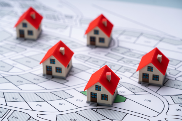
The Ahmedabad Municipal Corporation is planning a comprehensive GIS-based mapping exercise that will bring the city's properties, roads, utilities and other physical infrastructure onto a single digital platform. The exercise comes nearly a decade after the civic body's previous mapping project.
The project will include a door-to-door survey to geo-code around 25 lakh properties. Each property will be assigned a digital door ID, which will help the civic body verify property-tax assessments and maintain updated property records. The information will also support infrastructure planning and disaster management.
As part of the exercise, an aerial LiDAR and photographic survey will cover around 625 square kilometres, including Ahmedabad and surrounding areas. The survey will be used to prepare detailed elevation models and orthophotos. A network of 240 ground-control points, comprising 40 primary and 200 secondary points, will be established through differential GPS surveys to improve the accuracy of the mapping.
The project will generate digital terrain and surface models with 30-centimetre accuracy, along with 2D and 3D base maps at a 1:500 scale. Land-use and land-cover maps will also be prepared in both two-dimensional and three-dimensional formats. True orthophotos and ortho-mosaic images with 5-centimetre accuracy will form part of the mapping database.
A realistic 3D model of Ahmedabad will also be developed, with detailed LOD-3 models of 500 important buildings. Around 5,200 km of roads will be surveyed using mobile LiDAR and 360-degree street-view imaging. Another 5,200 km of underground infrastructure, including water-supply lines, drainage and stormwater networks, gas lines and cables, will be mapped.
The AMC plans to develop 12 GIS-based applications for civic departments and citizens. These will cover areas such as town planning, disaster management, health services and a citizen geoportal. The new platform will also be integrated with existing AMC systems, including property tax, the Comprehensive Complaint Redressal System and SCADA.
Property registers maintained by the estate department will also be digitised along with financial, legal and possession-related documents. This is expected to bring property-related information and civic infrastructure data together rather than keeping them across separate records and systems.
The mapping database is also planned to be updated regularly. During the five-year operation and maintenance period, satellite images will be procured annually, with machine-learning-based change detection used to identify changes in the city's built environment. Drones and satellites will also be used for subsequent updates.
For Ahmedabad's real estate and infrastructure planning, the availability of updated property, road and utility data could make it easier for civic authorities to assess existing infrastructure before taking up new works. The mapping will also provide a common digital reference for planning roads, utilities and land use across the city.
17th Nov, 2026


14th Nov, 2026
14th Nov, 2026



11th Nov, 2026

9th Nov, 2026

Advertisement








 Facebook
 Whatsapp

