Advertisement


Tamil Nadu's Directorate of Survey and Settlement has invited proposals for high-resolution satellite imagery covering about 1.3 lakh sq km, aiming to modernise the state's land-record system. The 30-cm imagery will be integrated into the Tamil Nadu GIS platform, enabling a shift from traditional 2D maps to precise geospatial maps with latitude-longitude accuracy. Officials say this will reduce boundary disputes, improve urban mapping and support faster patta transfers, subdivision approvals, and land-use reclassification. It will also help detect encroachments and strengthen planning, environmental monitoring and disaster management. The initiative complements Tamil Nadu's recent push to digitise land administration and provide easier online access to land records.
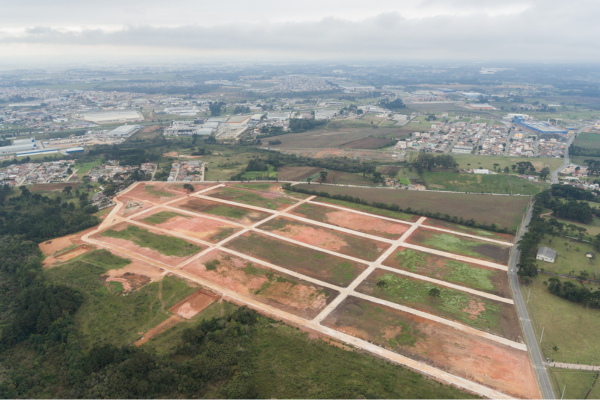
The Directorate of Survey and Settlement in Tamil Nadu has issued a request for proposals recently for high-resolution satellite imagery covering roughly 1.3 lakh sq km - essentially the entire state - to modernise its land-record mechanism. The imagery, with a resolution of about 30 cm, will be integrated into the state's geographic information system (TNGIS). Advertisement


By shifting from conventional two-dimensional (2D) planar maps to detailed geospatial maps with precise latitude-longitude coordinates, authorities expect to drastically reduce boundary-related ambiguities. This upgrade should enhance mapping accuracy in urban zones, where small discrepancies often lead to legal disputes over land and property.
Officials say the improved mapping will help in timely patta transfers, subdivision approvals, land-reclassification, and seamless regularisation of layouts. It will also aid survey and settlement processes, helping authorities detect encroachments on public land, water-bodies and government assets, as well as ensuring better planning for infrastructure, environmental monitoring, and disaster-management activities.
The shift comes amid broader efforts in the state to digitise land administration. In recent months, Tamil Nadu has already expanded digital access to land-record data - enabling citizens to view documents online, and facilitating easier verification of ownership, encumbrance status, zoning and other pertinent details. The new satellite-based mapping is expected to add a robust spatial dimension to those records, marrying traditional documents with high-precision geospatial data.

5th Jun, 2025

25th May, 2023

11th May, 2023

27th Apr, 2023
Advertisement


 Facebook
 Whatsapp